PORTLAND
The Gypsy, Little Joe, and Lucky Seven Crown-granted claims were located in 1906 along the south slope of Glacier Creek about 4 miles north of Stewart. A 40-foot shaft was sunk on a mineralized quartz vein by the owners Beaton and Didsdale, which reportedly produced assays of $30 to $40 per ton in gold, 20 ounces per ton silver, and 20 per cent lead. Portland Canal Mining Co. Ltd. acquired the original claims as well as nine more in 1908. Two adits were driven and a third, No. 3 tunnel, was projected at elevation 2,400 feet as the main haulageway.
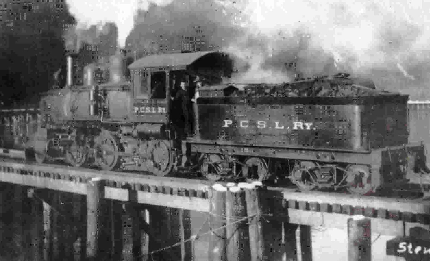
After some feasibility studies, a 75-ton concentrator an aerial tram-line from the Dunwell mill-site were constructed in l9lO. A short spur-line from the Portland Canal Short Line Railway was laid to the concentrator and the wagon-road to Stewart improved.
In October, 1911, the mine and mill ceased operations after treating 7,000 tons of gold-silvet-lead ore from which about 1,500 tons of concentrates was shipped. The ore apparently averaged 0.12 to 0.3 ounce gold; 5 to 25 ounces silver per ton; 2.5 to 12 per cent lead, and minor variable zinc with an average value of $12 per ton at that date.
Negligible work has been done on the property since 1912, although Portland Canal Terminals Limited drove a tunnel 3,629 feet long eastward from 50 feet in elevation above the Dunwell mill-site to intersect the Portland Canal Fissure and to investigate various known vein systems such as the Portland Canal vein.
This tunnel and ancillary development on vein intersections which was completed in 1914 has been mainly used to carry water for the Dunwell mill. In 1954, Cassiar Consolidated cleaned out the tunnel, which was filled with gravel, but since then the adit portal has caved.
In 1968, Granduc Mines, Limited, reopened and mapped the No. 3 Portland Canal tunnel at 2,400 feet elevation for mapping and sampling. Vein mineralization on the property lies within thin-bedded dark Bowser graphitic siltstones and greywackes which overlie Hazelton volcanic epiclastics.
The sedimentary rocks have been intensely folded and deformed and intruded by a number of plutons and dyke swarms. The veins have been injected into extensive fractures localized near the Bowser-Hazelton contact and apparently controlled by underlying intrusions. This fracture system, which included the known vein mineralization, was referred to as the Portland Canal Fissure Zone in old publications.
Two oreshoots averaging 5 feet wide, were mined from the quartz-breccia vein which averaged 8 feet wide and was traced on surface for about 2,000 feet. Both oreshoots were essentially flat-lying pods confined to narrow portions of the main vein. Sulphide mineralization in the quartz breccia consisted primarily of pyrite, with galena and minor sphalerite.
Like other similar veins in this zone, the vein has a sinuous swelling shape and is cut or bounded by later, narrow, hornblende diorite (lamprophyre) dykes.
