Early Mines
Cassiar Rainbow
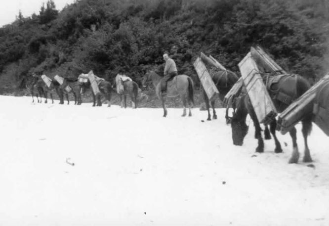
Photo - Winter Pack Train
These showings, formerly on the Rainbow and the Rainbow extension claim groups, in 1947 were controlled by the Rainbow Gold Mines, Limited and at that time were located by C. D. E. Barker, of Premier. The showings are on the ridge locally known as the " Trojan Horse," on the east side of Summit Lake.
This ground had been previously explored, and a map on page 65 of the British Pack train hauling gear up the Salmon River valley.Columbia Minister of Mines Annual Report for 1920 shows the White Moose and War Eagle near this location. Access is now by the Granduc road which skirts the lower slope of the ridge above the lake. A road tunnel through the Trojan Horse, completed in 1968 (drilled and tested in 1967) in order to avoid a serious snowslide situation, passed under the showings without intersecting significant mineralization.
Country rocks consist of intercalated green Hazelton volcanic breccias, conglomerates, and sandstones, and their metamorphic equivalents. These steep-dipping north-trending epispastics are cut by a series of almost east-west rusty-weathering shears containing quartz, minor pyrite, and other sulphides. The ridge rocks are cut by a number of post shear dykes ranging in thickness from a few inches to 20 feet, which appear to have characteristics of the Premier dyke swarm.
Trenches and some natural outcrops expose wide zones of shearing that strike westerly and dip steeply northward. This shearing can be followed for 600 feet across the top of the ridge and extends farther down the slopes. Unless trenched, shear zones are poorly exposed, since they have been more susceptible to erosion than the unsheared rocks. One zone, partly exposed on the surface, is seen in the drill-core to be about 160 feet wide, but much of this width is not intensively sheared. Within the shears, pyrite is abundant, silicification is common, and stringers of white quartz and carbonate are numerous. Sphalerite, galena, pyrrhotite,chalcopyrite, and arsenopyrite are found in parts of the shear which is generally restricted to widths of not more than 5 feet. A few veins less than 2 feet wide occur where there is less shearing. The core from the diamond-drill holes resembles material observed in surface exposures, although shearing is more noticeable and sulphides appear to be more abundant. Figure 28, based on a pace and compass traverse, shows the shears, the location of samples, and location of the diamond-drill holes.
Assays of three samples (810, 811, and 812) taken from shear zones and of two (813 and 814) veins gave the following results:-
Sample old Silver
Inches I Oz. per Ton Oz. per Ton
No. 810 ----------------------------------------------- 18 0.02 6.0
No. 811 ------------------------------------------------60.01 0.2
No. 812 ----------------------------------------------- 48 0.03 0.5
No. 813 ----------------------------------------------- 18 0.05 2.1
No. 814 ------------------------------------------------12 0.03 6.0
NEXT DUNWELL MINES